
Make a donation
Gear up for your next adventure:
As an Amazon Associate, this site earns from qualifying purchases at no extra cost to you.
Montería topographic map
Click on the map to display elevation.
Make a donation
Gear up for your next adventure:
As an Amazon Associate, this site earns from qualifying purchases at no extra cost to you.
About this map
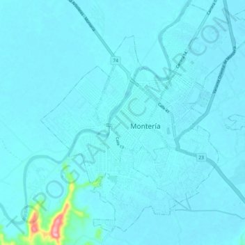
Name: Montería topographic map, elevation, terrain.
Location: Montería, Córdoba, Colombia (8.70794 -75.91738 8.79644 -75.83519)
Average elevation: 17 m
Minimum elevation: 8 m
Maximum elevation: 167 m
Make a donation
Gear up for your next adventure:
As an Amazon Associate, this site earns from qualifying purchases at no extra cost to you.
Other topographic maps
Click on a map to view its topography, its elevation and its terrain.
Montería
La topografía de Montería es básicamente plana, con algunas elevaciones de menor importancia. La parte occidental de la ciudad está surcada por la serranía de Las Palomas. Al norte limita con el municipio de Cereté, Puerto Escondido y San Pelayo; al este con San Carlos y Planeta Rica; al sur con…
Average elevation: 25 m