Geolocate

Send topographic map

Click on the map to display elevation.

About this map
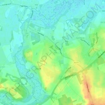
Name: Send topographic map, elevation, terrain.

Location: Send, Guildford, Surrey, England, United Kingdom (51.26676 -0.54921 51.30436 -0.49931)

Average elevation: 32 m

Minimum elevation: 19 m

Maximum elevation: 56 m

Gear up for your next adventure:

🚨High-Decibel Whistles - Standard safety gear for mountain signaling
👣Orthopedic Boot Insoles - Extra comfort for long distance walking
🔭Laser Distance Meters - Professional precision measuring for site surveys
📡Satellite Messengers - Emergency communication for remote areas without signal
🔧Bicycle Repair Kits - On‑the‑go bike maintenance tools

As an Amazon Associate, this site earns from qualifying purchases at no extra cost to you.