
La Angostura topographic map
Interactive map
Click on the map to display elevation.
About this map
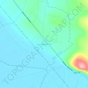
Name: La Angostura topographic map, elevation, terrain.
Location: La Angostura, Vista Hermosa, Michoacán de Ocampo, México (20.17746 -102.46285 20.21746 -102.42285)
Average elevation: 1,548 m
Minimum elevation: 1,523 m
Maximum elevation: 1,681 m