
Kenora topographic map
Interactive map
Click on the map to display elevation.
About this map
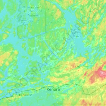
Name: Kenora topographic map, elevation, terrain.
Average elevation: 336 m
Minimum elevation: 311 m
Maximum elevation: 425 m
Other topographic maps
Click on a map to view its topography, its elevation and its terrain.
Deception Bay
Canada > Ontario > Kenora District > Unorganized Kenora District
Deception Bay, Unorganized Kenora District, Kenora District, Northwestern Ontario, Ontario, Canada
Average elevation: 372 m