
Make a donation
Gear up for your next adventure:
As an Amazon Associate, this site earns from qualifying purchases at no extra cost to you.
Wooley topographic map
Click on the map to display elevation.
Make a donation
Gear up for your next adventure:
As an Amazon Associate, this site earns from qualifying purchases at no extra cost to you.
About this map
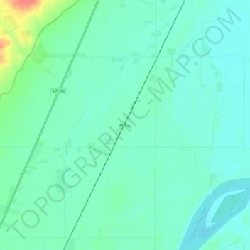
Name: Wooley topographic map, elevation, terrain.
Location: Wooley, Richland County, Montana, United States (47.74502 -104.12577 47.78502 -104.08577)
Average elevation: 585 m
Minimum elevation: 571 m
Maximum elevation: 633 m
Make a donation
Gear up for your next adventure:
As an Amazon Associate, this site earns from qualifying purchases at no extra cost to you.
Other topographic maps
Click on a map to view its topography, its elevation and its terrain.
Sidney
United States > Montana > Richland County
Sidney is located in the northeastern part of the state at 47°42′45″N 104°9′41″W / 47.71250°N 104.16139°W / 47.71250; -104.16139 (47.712519, -104.161486), at an altitude of 1,949 feet (594 m).
Average elevation: 593 m