
Yerga topographic map
Interactive map
Click on the map to display elevation.
About this map
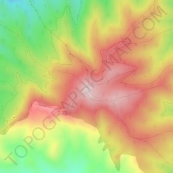
Name: Yerga topographic map, elevation, terrain.
Location: Yerga, Alfaro, La Rioja, España (42.14350 -1.97229 42.14360 -1.97219)
Average elevation: 935 m
Minimum elevation: 733 m
Maximum elevation: 1,096 m
Other topographic maps
Click on a map to view its topography, its elevation and its terrain.