
Hazas de Cesto topographic map
Interactive map
Click on the map to display elevation.
About this map
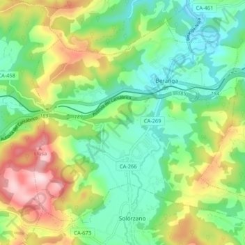
Name: Hazas de Cesto topographic map, elevation, terrain.
Location: Hazas de Cesto, Cantabria, 39730, Spain (43.38129 -3.62059 43.42945 -3.53996)
Average elevation: 149 m
Minimum elevation: 21 m
Maximum elevation: 387 m
Other topographic maps
Click on a map to view its topography, its elevation and its terrain.