
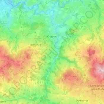
Clugnat topographic map
Interactive map
Click on the map to display elevation.
About this map
Name: Clugnat topographic map, elevation, terrain.
Average elevation: 402 m
Minimum elevation: 283 m
Maximum elevation: 605 m
Other topographic maps
Click on a map to view its topography, its elevation and its terrain.
Lotissement les Peupliers
France > Nouvelle-Aquitaine > Creuse > La Souterraine > La Souterraine
Average elevation: 383 m