
Runnemede topographic map
Interactive map
Click on the map to display elevation.
About this map
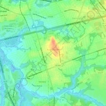
Name: Runnemede topographic map, elevation, terrain.
Location: Runnemede, Camden County, New Jersey, 08078, United States (39.84050 -75.10319 39.86146 -75.04827)
Average elevation: 16 m
Minimum elevation: -8 m
Maximum elevation: 42 m