
Thank you for supporting this site ❤️
Make a donation
Make a donation
Gear up for your next adventure:
As an Amazon Associate, this site earns from qualifying purchases at no extra cost to you.
Batangan topographic map
Click on the map to display elevation.
Thank you for supporting this site ❤️
Make a donation
Make a donation
Gear up for your next adventure:
As an Amazon Associate, this site earns from qualifying purchases at no extra cost to you.
About this map
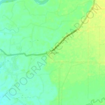
Name: Batangan topographic map, elevation, terrain.
Location: Batangan, Bukidnon, Northern Mindanao, 8709088, Philippines (7.88455 125.09988 7.92455 125.13988)
Average elevation: 302 m
Minimum elevation: 292 m
Maximum elevation: 311 m
Thank you for supporting this site ❤️
Make a donation
Make a donation
Gear up for your next adventure:
As an Amazon Associate, this site earns from qualifying purchases at no extra cost to you.