Geolocate

Cline topographic map

Click on the map to display elevation.

About this map

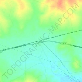
Name: Cline topographic map, elevation, terrain.

Location: Cline, Uvalde County, Texas, United States (29.22329 -100.10284 29.26329 -100.06284)

Average elevation: 311 m

Minimum elevation: 294 m

Maximum elevation: 337 m

Other topographic maps

Click on a map to view its topography, its elevation and its terrain.

Garner State Park

United States > Texas > Uvalde County > Concan

Average elevation: 456 m

Garner State Park

United States > Texas > Uvalde County > Concan

Average elevation: 456 m

Gear up for your next adventure:

🪑Compact Camping Tables - Tables for campsite comfort
🧺Collapsible Camp Bowls - Save space in your expedition kit
🚲Cycling GPS Computers - Topographic mapping for Irish road and mountain biking
💨Windbreakers - Protection from strong winds
📖Outdoor Guide Books - Expert guides for Irish nature

As an Amazon Associate, this site earns from qualifying purchases at no extra cost to you.