
Colorado Plateau topographic map
Interactive map
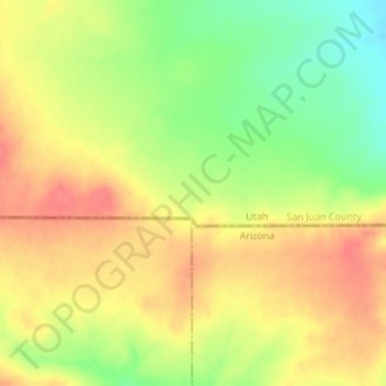
Click on the map to display elevation.
About this map
Name: Colorado Plateau topographic map, elevation, terrain.
Average elevation: 1,512 m
Minimum elevation: 1,474 m
Maximum elevation: 1,540 m
Other topographic maps
Click on a map to view its topography, its elevation and its terrain.
Mount Olympus
Verenigde Staten van Amerika > Utah
Mount Olympus, Salt Lake County, Utah, Verenigde Staten van Amerika
Average elevation: 2,292 m
Duchesne County
Verenigde Staten van Amerika > Utah
Duchesne County, Utah, Verenigde Staten van Amerika
Average elevation: 2,408 m
Salt Lake County
Verenigde Staten van Amerika > Utah
Salt Lake County, Utah, Verenigde Staten van Amerika
Average elevation: 1,811 m