
Rush County topographic map
Interactive map
Click on the map to display elevation.
About this map
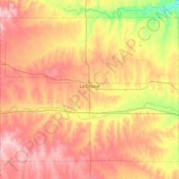
Name: Rush County topographic map, elevation, terrain.
Location: Rush County, Kansas, United States (38.34833 -99.58479 38.69681 -99.03241)
Average elevation: 634 m
Minimum elevation: 546 m
Maximum elevation: 714 m
Other topographic maps
Click on a map to view its topography, its elevation and its terrain.
Longford
United States > Kansas > Clay County > Longford
Longford, Clay County, Kansas, United States
Average elevation: 407 m