
Kenyir Dam topographic map
Interactive map
Click on the map to display elevation.
About this map
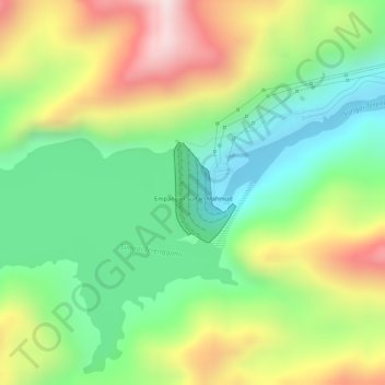
Name: Kenyir Dam topographic map, elevation, terrain.
Location: Kenyir Dam, Hulu Terennganu, Terengganu, Malaysia (5.02026 102.90713 5.02723 102.91148)
Average elevation: 215 m
Minimum elevation: 13 m
Maximum elevation: 482 m
Other topographic maps
Click on a map to view its topography, its elevation and its terrain.
Bukit Payong
Malaysia > Terengganu > Bukit Payong
Bukit Payong, Marang, Terengganu, 21400, Malaysia
Average elevation: 8 m