
Gurvantes topographic map
Interactive map
Click on the map to display elevation.
About this map
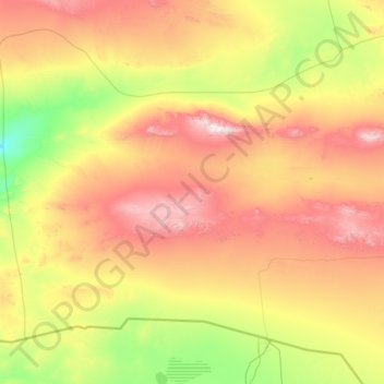
Name: Gurvantes topographic map, elevation, terrain.
Location: Gurvantes, Ömnögovi, Mongolia (42.50342 99.41701 44.15009 102.08808)
Average elevation: 1,328 m
Minimum elevation: 698 m
Maximum elevation: 2,710 m