
Make a donation
Gear up for your next adventure:
As an Amazon Associate, this site earns from qualifying purchases at no extra cost to you.
Selma topographic map
Click on the map to display elevation.
Make a donation
Gear up for your next adventure:
As an Amazon Associate, this site earns from qualifying purchases at no extra cost to you.
Selma
Selma is a city in Fresno County, California. The population was 23,319 at the 2010 census, up from 19,240 at the 2000 census. Selma is located 16 miles (26 km) southeast of Fresno, at an elevation of 308 feet (94 m).
Make a donation
Gear up for your next adventure:
As an Amazon Associate, this site earns from qualifying purchases at no extra cost to you.
About this map
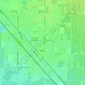
Name: Selma topographic map, elevation, terrain.
Location: Selma, Fresno County, California, 93662, United States (36.55215 -119.64638 36.59808 -119.59119)
Average elevation: 96 m
Minimum elevation: 88 m
Maximum elevation: 102 m
Make a donation
Gear up for your next adventure:
As an Amazon Associate, this site earns from qualifying purchases at no extra cost to you.