
Palangka Raya topographic map
Interactive map
Click on the map to display elevation.
About this map
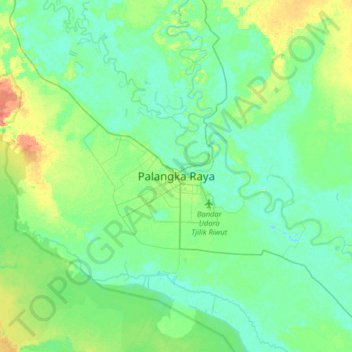
Name: Palangka Raya topographic map, elevation, terrain.
Location: Palangka Raya, Central Kalimantan, 73112, Indonesia (-2.36741 113.75647 -2.04741 114.07647)
Average elevation: 10 m
Minimum elevation: -3 m
Maximum elevation: 35 m