
Lifford-Stranorlar Municipal District topographic map
Interactive map
Click on the map to display elevation.
About this map
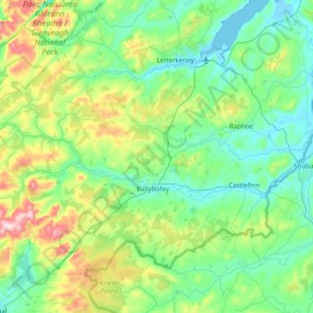
Name: Lifford-Stranorlar Municipal District topographic map, elevation, terrain.
Average elevation: 142 m
Minimum elevation: -4 m
Maximum elevation: 671 m
County Donegal trails, hiking, mountain biking, running and outdoor activities
Other topographic maps
Click on a map to view its topography, its elevation and its terrain.