
Make a donation
Gear up for your next adventure:
As an Amazon Associate, this site earns from qualifying purchases at no extra cost to you.
Wietsche topographic map
Click on the map to display elevation.
Make a donation
Gear up for your next adventure:
As an Amazon Associate, this site earns from qualifying purchases at no extra cost to you.
Wietsche
Die Karte Topographia Ducatus Montani aus dem Jahre 1715 zeigt die Hofschaft mit drei Höfen unter dem Namen Wischen. Im 18. Jahrhundert gehörte der Ort zum Kirchspiel Leichlingen im bergischen Amt Miselohe. Die Topographische Aufnahme der Rheinlande von 1824 verzeichnet den Hof als Wietsche, die Preußische Uraufnahme von 1844 als Witsche.
Make a donation
Gear up for your next adventure:
As an Amazon Associate, this site earns from qualifying purchases at no extra cost to you.
About this map
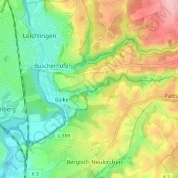
Name: Wietsche topographic map, elevation, terrain.
Average elevation: 104 m
Minimum elevation: 45 m
Maximum elevation: 186 m
Make a donation
Gear up for your next adventure:
As an Amazon Associate, this site earns from qualifying purchases at no extra cost to you.