
French King Rock topographic map
Interactive map
Click on the map to display elevation.
About this map
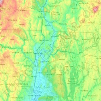
Name: French King Rock topographic map, elevation, terrain.
Location: French King Rock, Gill, Franklin, Massachusetts, 01344, USA (42.28425 -72.81203 42.92425 -72.17203)
Average elevation: 278 m
Minimum elevation: 28 m
Maximum elevation: 1,014 m