
Unterschaden topographic map
Interactive map
Click on the map to display elevation.
About this map
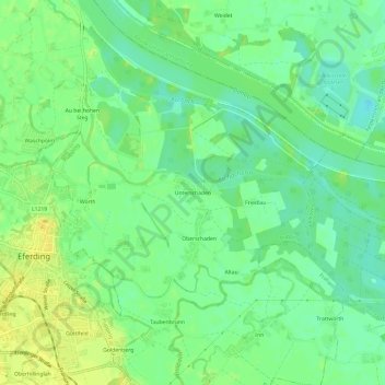
Name: Unterschaden topographic map, elevation, terrain.
Location: Unterschaden, Pupping, Bezirk Eferding, 4070, Österreich (48.29485 14.02524 48.33485 14.06524)
Average elevation: 264 m
Minimum elevation: 253 m
Maximum elevation: 275 m