
Luwu topographic map
Interactive map
Click on the map to display elevation.
About this map
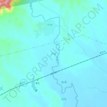
Name: Luwu topographic map, elevation, terrain.
Location: Luwu, Dayu County, Ganzhou, Jiangxi, China (25.48360 114.50191 25.52360 114.54191)
Average elevation: 169 m
Minimum elevation: 148 m
Maximum elevation: 351 m