
Geldrop topographic map
Interactive map
Click on the map to display elevation.
About this map
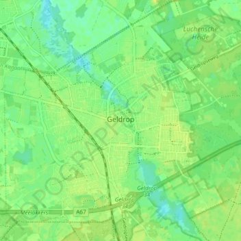
Name: Geldrop topographic map, elevation, terrain.
Location: Geldrop, Geldrop-Mierlo, Nordbrabant, Niederlande (51.40314 5.52517 51.44148 5.59872)
Average elevation: 21 m
Minimum elevation: 12 m
Maximum elevation: 28 m