
Rhondda Cynon Taf topographic map
Interactive map
Click on the map to display elevation.
About this map
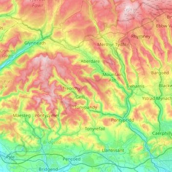
Name: Rhondda Cynon Taf topographic map, elevation, terrain.
Location: Rhondda Cynon Taf, Wales, United Kingdom (51.49904 -3.59371 51.83012 -3.23631)
Average elevation: 251 m
Minimum elevation: 12 m
Maximum elevation: 616 m
Other topographic maps
Click on a map to view its topography, its elevation and its terrain.