
Make a donation
Gear up for your next adventure:
As an Amazon Associate, this site earns from qualifying purchases at no extra cost to you.
Horath topographic map
Click on the map to display elevation.
Make a donation
Gear up for your next adventure:
As an Amazon Associate, this site earns from qualifying purchases at no extra cost to you.
About this map
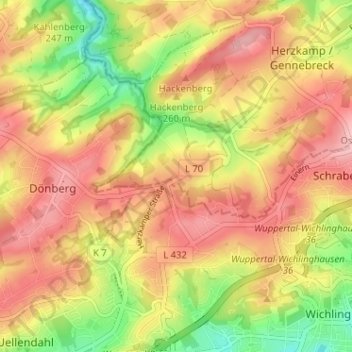
Name: Horath topographic map, elevation, terrain.
Average elevation: 257 m
Minimum elevation: 176 m
Maximum elevation: 316 m
Make a donation
Gear up for your next adventure:
As an Amazon Associate, this site earns from qualifying purchases at no extra cost to you.
Other topographic maps
Click on a map to view its topography, its elevation and its terrain.
45549
Deutschland > Nordrhein-Westfalen > Ennepe-Ruhr-Kreis > Sprockhövel > Scheven
Average elevation: 225 m
Hiddinghausen
Deutschland > Nordrhein-Westfalen > Ennepe-Ruhr-Kreis > Sprockhövel
Average elevation: 205 m
Alter Schee
Deutschland > Nordrhein-Westfalen > Ennepe-Ruhr-Kreis > Sprockhövel
Average elevation: 267 m