
La Rocca topographic map
Interactive map
Click on the map to display elevation.
About this map
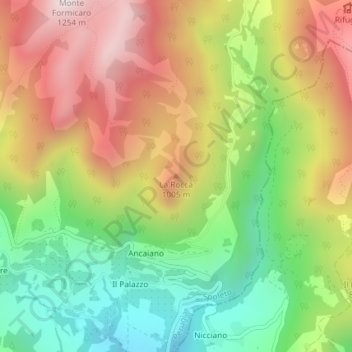
Name: La Rocca topographic map, elevation, terrain.
Location: La Rocca, Spoleto, Perugia, Umbria, 06049, Italia (42.65266 12.77645 42.65276 12.77655)
Average elevation: 773 m
Minimum elevation: 366 m
Maximum elevation: 1,234 m