
Tuamotu-Gambier topographic map
Interactive map
Click on the map to display elevation.
About this map
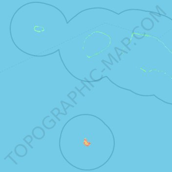
Name: Tuamotu-Gambier topographic map, elevation, terrain.
Location: Tuamotu-Gambier, Polynésie française, France (-15.87272 -148.71632 -14.85590 -147.21078)
Average elevation: 0 m
Minimum elevation: 0 m
Maximum elevation: 97 m
Other topographic maps
Click on a map to view its topography, its elevation and its terrain.
Makatea
France > Polynésie française > Tuamotu-Gambier > Rangiroa
Makatea, Rangiroa, Tuamotu-Gambier, Polynésie française, France
Average elevation: 1 m