Geolocate

Sharp topographic map

Click on the map to display elevation.

About this map

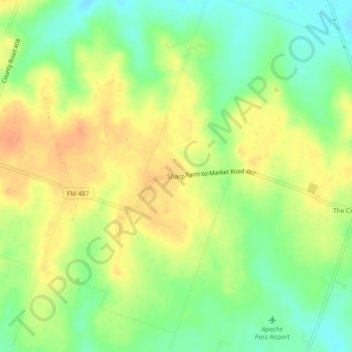
Name: Sharp topographic map, elevation, terrain.

Location: Sharp, Milam County, Texas, United States (30.73130 -97.17610 30.77130 -97.13610)

Average elevation: 141 m

Minimum elevation: 120 m

Maximum elevation: 158 m

Other topographic maps

Click on a map to view its topography, its elevation and its terrain.

Rockdale

United States > Texas > Milam County

Average elevation: 147 m

Milano

United States > Texas > Milam County

Average elevation: 149 m

Cameron

United States > Texas > Milam County

Average elevation: 116 m

Gear up for your next adventure:

🔦High-Lumen Headlamps - Hands-free lighting for early starts or late finishes
🥽UV Protection Sunglasses - Protect eyes on bright days
🔋Solar Power Banks - Keep your GPS and phone charged in the Irish wilderness
🔭Portable Monoculars - One-handed optics for quick route checking
🌲Survival Gear - Equipment for outdoor survival situations

As an Amazon Associate, this site earns from qualifying purchases at no extra cost to you.