Geolocate

Paffendorf topographic map

Click on the map to display elevation.

About this map
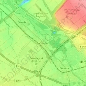
Name: Paffendorf topographic map, elevation, terrain.

Location: Paffendorf, Bergheim, Rhein-Erft-Kreis, North Rhine-Westphalia, 50126, Germany (50.94283 6.58876 50.98283 6.62876)

Average elevation: 72 m

Minimum elevation: 29 m

Maximum elevation: 121 m

Other topographic maps

Click on a map to view its topography, its elevation and its terrain.

Gear up for your next adventure:

🚰Hydration Packs - Hands‑free water storage for hikers
⌚Solar Multisport Watches - Advanced mapping and GPS tracking for endurance hikers
🔦High-Lumen Headlamps - Hands-free lighting for early starts or late finishes
🏃Men's Trail Runners - Grip and speed for rugged Irish mountain running
🦯Lightweight Trekking Poles - Reduce knee strain on steep Wicklow or Kerry slopes

As an Amazon Associate, this site earns from qualifying purchases at no extra cost to you.