Geolocate

Stanovoy Range topographic map

Click on the map to display elevation.

About this map
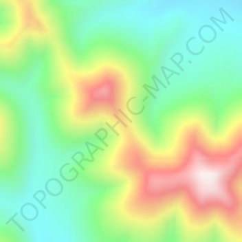
Name: Stanovoy Range topographic map, elevation, terrain.

Location: Stanovoy Range, Тындинский муниципальный округ, Amur Oblast, Far Eastern Federal District, Russia (55.53255 125.92375 55.53265 125.92385)

Average elevation: 1,141 m

Minimum elevation: 901 m

Maximum elevation: 1,527 m

Other topographic maps

Click on a map to view its topography, its elevation and its terrain.

Gear up for your next adventure:

🥄Titanium Sporks - Indestructible and ultralight eating utensil
🧯Camp Safety Kits - All‑in‑one safety gear
🎁Outdoor Gift Ideas - Great gifts for adventurers
🎒Backpack Rain Covers - Extra protection for non-waterproof rucksacks
🪢Paracord & Ropes - Strong ropes for camping and gear

As an Amazon Associate, this site earns from qualifying purchases at no extra cost to you.