
Burgess Hill topographic map
Interactive map
Click on the map to display elevation.
About this map
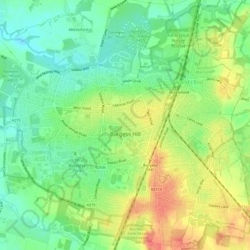
Name: Burgess Hill topographic map, elevation, terrain.
Average elevation: 41 m
Minimum elevation: 16 m
Maximum elevation: 71 m
Other topographic maps
Click on a map to view its topography, its elevation and its terrain.
Lindfield
United Kingdom > England > West Sussex > Mid Sussex District > Lindfield
Lindfield, Mid Sussex District, West Sussex, England, United Kingdom
Average elevation: 49 m