
Les Neurayes topographic map
Interactive map
Click on the map to display elevation.
About this map
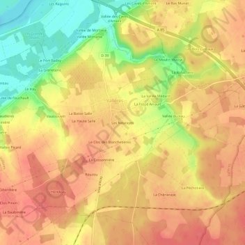
Name: Les Neurayes topographic map, elevation, terrain.
Average elevation: 76 m
Minimum elevation: 33 m
Maximum elevation: 99 m
Other topographic maps
Click on a map to view its topography, its elevation and its terrain.
Le Vieux Cher
France > Centre-Val de Loire > Indre-et-Loire > Vallères
Le Vieux Cher, Vallères, Tours, Indre-et-Loire, Centre-Val de Loire, France métropolitaine, 37190, France
Average elevation: 78 m