
Freixo topographic map
Interactive map
Click on the map to display elevation.
About this map
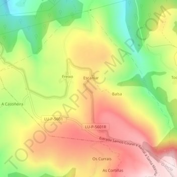
Name: Freixo topographic map, elevation, terrain.
Location: Freixo, Samos, Sarria, Lugo, Galicia, Spain (42.70677 -7.31181 42.73199 -7.27299)
Average elevation: 843 m
Minimum elevation: 592 m
Maximum elevation: 1,081 m