
Pandeglang topographic map
Interactive map
Click on the map to display elevation.
About this map
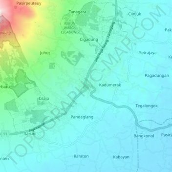
Name: Pandeglang topographic map, elevation, terrain.
Location: Pandeglang, Banten, 42211, Indonesien (-6.34977 106.06675 -6.26977 106.14675)
Average elevation: 279 m
Minimum elevation: 114 m
Maximum elevation: 1,256 m