
Llamacorral topographic map
Interactive map
Click on the map to display elevation.
About this map
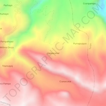
Name: Llamacorral topographic map, elevation, terrain.
Location: Llamacorral, Andahuaylas, Apurímac, Peru (-13.84090 -73.54911 -13.80090 -73.50911)
Average elevation: 3,936 m
Minimum elevation: 3,405 m
Maximum elevation: 4,239 m