
Thränitz topographic map
Interactive map
Click on the map to display elevation.
About this map
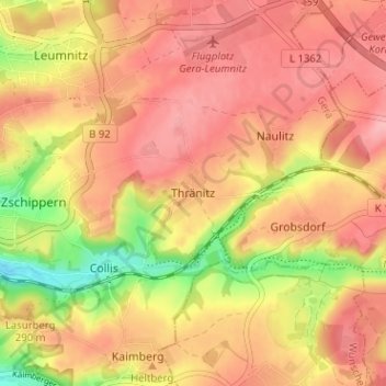
Name: Thränitz topographic map, elevation, terrain.
Location: Thränitz, Gera, Thuringia, 07546, Germany (50.84527 12.11133 50.88527 12.15133)
Average elevation: 281 m
Minimum elevation: 206 m
Maximum elevation: 322 m