
Lục Ngạn District topographic map
Interactive map
Click on the map to display elevation.
About this map
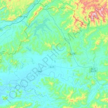
Name: Lục Ngạn District topographic map, elevation, terrain.
Location: Lục Ngạn District, Bac Giang Province, 230000, Vietnam (21.26483 106.44420 21.60896 106.86516)
Average elevation: 154 m
Minimum elevation: 3 m
Maximum elevation: 964 m