
公园街道 topographic map
Interactive map
Click on the map to display elevation.
About this map
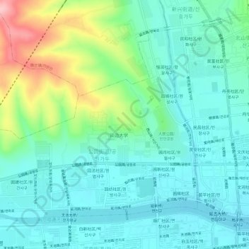
Name: 公园街道 topographic map, elevation, terrain.
Location: 公园街道, 延吉市, 延边朝鲜族自治州, 吉林省, 中国 (42.89576 129.44215 42.92786 129.49865)
Average elevation: 208 m
Minimum elevation: 166 m
Maximum elevation: 334 m