
Pengpo topographic map
Interactive map
Click on the map to display elevation.
About this map
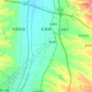
Name: Pengpo topographic map, elevation, terrain.
Location: Pengpo, Yichuan County, Luoyang, Henan, China (34.42632 112.46199 34.52052 112.58397)
Average elevation: 230 m
Minimum elevation: 157 m
Maximum elevation: 446 m