
Bar Harbor topographic map
Interactive map
Click on the map to display elevation.
About this map
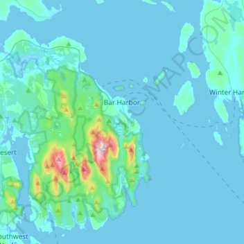
Name: Bar Harbor topographic map, elevation, terrain.
Location: Bar Harbor, Hancock County, Maine, 04609, United States (44.29174 -68.41984 44.45262 -68.15468)
Average elevation: 33 m
Minimum elevation: -5 m
Maximum elevation: 461 m