
Corn Islands topographic map
Interactive map
Click on the map to display elevation.
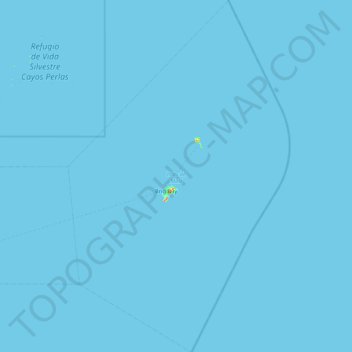
Corn Islands
The Corn Islands consist of the Great Corn Island (often simply referred to as Corn Island), with an area of 10 square kilometres (3.9 sq mi), and Little Corn Island, with an area of 2.9 square kilometres (1.1 sq mi). The total area is 12.9 square kilometres (5.0 sq mi). Mount Pleasant Hill in the north of Great Corn Island, is the highest elevation of the islands, at 113 metres (371 ft). Little Corn Island reaches a height of 38 metres (125 ft) at Lookout Point in the northern part of the island.
About this map
Name: Corn Islands topographic map, elevation, terrain.
Average elevation: 0 m
Minimum elevation: 0 m
Maximum elevation: 62 m
Other topographic maps
Click on a map to view its topography, its elevation and its terrain.
Cerro Malambo o La Palma
Nicaragua > Managua > San Francisco Libre (Municipio)
Average elevation: 110 m