
火烈乡 topographic map
Interactive map
Click on the map to display elevation.
About this map
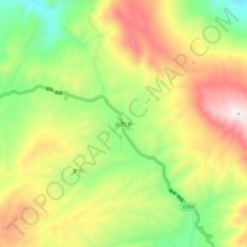
Name: 火烈乡 topographic map, elevation, terrain.
Location: 火烈乡, 布拖县, 凉山彝族自治州, 四川省, 616300, 中国 (27.68219 102.89653 27.76219 102.97653)
Average elevation: 2,981 m
Minimum elevation: 2,481 m
Maximum elevation: 3,597 m
Other topographic maps
Click on a map to view its topography, its elevation and its terrain.