
Covena topographic map
Interactive map
Click on the map to display elevation.
About this map
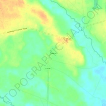
Name: Covena topographic map, elevation, terrain.
Location: Covena, Emanuel County, Georgia, Estados Unidos (32.47711 -82.46235 32.51711 -82.42235)
Average elevation: 62 m
Minimum elevation: 47 m
Maximum elevation: 81 m