
Meskwaki Nation topographic map
Interactive map
Click on the map to display elevation.
About this map
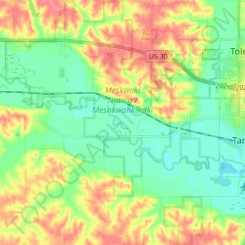
Name: Meskwaki Nation topographic map, elevation, terrain.
Location: Meskwaki Nation, Toledo, Tama County, Iowa, United States (41.92361 -92.69857 42.01467 -92.59141)
Average elevation: 270 m
Minimum elevation: 243 m
Maximum elevation: 309 m