
Yurimaguas topographic map
Interactive map
Click on the map to display elevation.
About this map
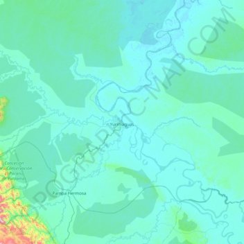
Name: Yurimaguas topographic map, elevation, terrain.
Location: Yurimaguas, Alto Amazonas, Loreto, Peru (-6.17752 -76.41227 -5.59881 -75.63465)
Average elevation: 177 m
Minimum elevation: 115 m
Maximum elevation: 1,231 m