
Thank you for supporting this site ❤️
Make a donation
Make a donation
Gear up for your next adventure:
As an Amazon Associate, this site earns from qualifying purchases at no extra cost to you.
Fraga topographic map
Click on the map to display elevation.
Thank you for supporting this site ❤️
Make a donation
Make a donation
Gear up for your next adventure:
As an Amazon Associate, this site earns from qualifying purchases at no extra cost to you.
About this map
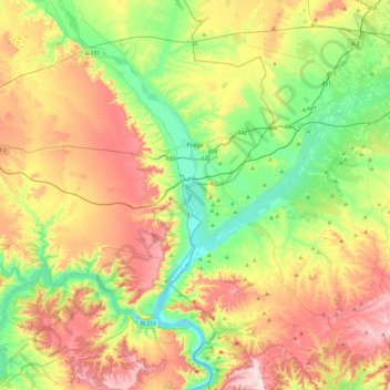
Name: Fraga topographic map, elevation, terrain.
Location: Fraga, Bajo Cinca / Baix Cinca, Huesca, Aragon, 22520, Spain (41.34997 -0.02622 41.60217 0.44728)
Average elevation: 235 m
Minimum elevation: 65 m
Maximum elevation: 477 m
Thank you for supporting this site ❤️
Make a donation
Make a donation
Gear up for your next adventure:
As an Amazon Associate, this site earns from qualifying purchases at no extra cost to you.