
晶桥镇 topographic map
Interactive map
Click on the map to display elevation.
About this map
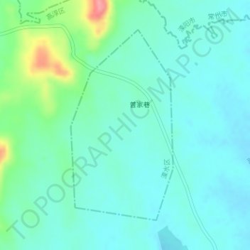
Name: 晶桥镇 topographic map, elevation, terrain.
Location: 晶桥镇, 溧水区, 南京市, 江苏省, 中国 (31.42075 119.13467 31.44135 119.14763)
Average elevation: 38 m
Minimum elevation: 18 m
Maximum elevation: 113 m
Other topographic maps
Click on a map to view its topography, its elevation and its terrain.