
Hopedale topographic map
Interactive map
Click on the map to display elevation.
About this map
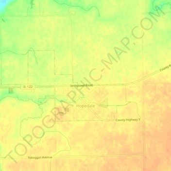
Name: Hopedale topographic map, elevation, terrain.
Location: Hopedale, Tazewell County, Illinois, United States (40.41767 -89.44817 40.43223 -89.40221)
Average elevation: 195 m
Minimum elevation: 168 m
Maximum elevation: 205 m