
Fangatau topographic map
Interactive map
Click on the map to display elevation.
About this map
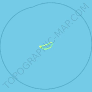
Name: Fangatau topographic map, elevation, terrain.
Location: Fangatau, Tuamotu-Gambier, Polynésie française, France (-16.04210 -141.10944 -15.60139 -140.62315)
Average elevation: 0 m
Minimum elevation: 0 m
Maximum elevation: 17 m
Other topographic maps
Click on a map to view its topography, its elevation and its terrain.
Fakahina
France > Polynésie française > Fangatau
Fakahina, Fangatau, Tuamotu-Gambier, Polynésie française, France
Average elevation: 0 m