
Zwartewaterland topographic map
Interactive map
Click on the map to display elevation.
About this map
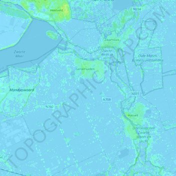
Name: Zwartewaterland topographic map, elevation, terrain.
Location: Zwartewaterland, Overijssel, Niederlande (52.55184 5.97134 52.66794 6.16684)
Average elevation: 0 m
Minimum elevation: -5 m
Maximum elevation: 9 m